

Nautical Charts
Information about Historical Nautical Cartography
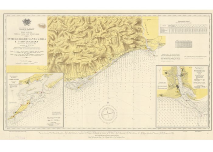
In the past, the production of nautical cartography followed a set of techniques and a range of equipment of the time. Many of the surveys were carried out expeditiously, however, serving perfectly for their purposes, namely for conducting navigation. Navigation was not based entirely on cartography, but rather on visualizing the contour of the coast, which is also the reason for the inclusion of panoramic drawings of views from sea to land in these charts.
Nowadays, in addition to the artistic character attributed to it and, despite the scarce documentation associated with its construction technique and the technical standards used to represent elements, historical cartography is used as basic information for technical and scientific studies. , mainly in the approach to temporal variability.
These cards can be purchased at Navigator's Store.
The Hydrographic Institute provides two web applications from which you can perform an interactive exploration of some historical nautical charts and compare, at the same time, charts produced in different years, for the same location.
1938 Carta histórica de Cabo Sta. Maria Guadiana
1
2018-04-09